

These images are considered "raw" data, with no analysis of fires and/or smoke. To view the official analyses by NOAA meteorologists, please see the Hazard Mapping System Fire and Smoke Product. Probable fires will appear as sharp white "spots" in the Reflectivity and Infrared images.
See a brief explanation of the Infrared Reflectivity Product.![]()
GOES-East Visible  Loops: Java | Flash | HTML5 |
GOES-East Infrared Ch. 4  Loops: Java | Flash | HTML5 |
GOES-East Infrared Ch. 2  Loops: Java | Flash | HTML5 |
GOES-East Reflectivity  Loops: Java | Flash | HTML5 |
GOES-East Shortwave Alb.  Loops: Java | Flash | HTML5 |
HMS Fire Analysis 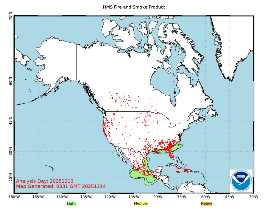 |
![]() Indicates a link outside the U.S. Government.
Indicates a link outside the U.S. Government.